ARTICLE AD

Hello and welcome back to TechCrunch Space. I hope everyone had a restful Easter, for those who celebrate.
Want to reach out with a tip? Email Aria at aria.techcrunch@gmail.com or send me a message on Signal at 512-937-3988. You also can send a note to the whole TechCrunch crew at tips@techcrunch.com. For more secure communications, click here to contact us, which includes SecureDrop instructions and links to encrypted messaging apps.
Story of the week
This week, I sat down with Orbit Fab CEO Daniel Faber to talk about the company’s first refueling port officially hitting the market. The price tag? Just $30,000.
“SpaceX has made rockets reusable, Orbit Fab makes satellites reusable,” he said. “In this world today, if you’re running a rocket company, and you’re not working towards reusable rockets, you’re working to a dead end. The same is true of satellites: If you’re not making your satellites reusable, you’re just putting preordained junk into orbit.”
What we’re reading
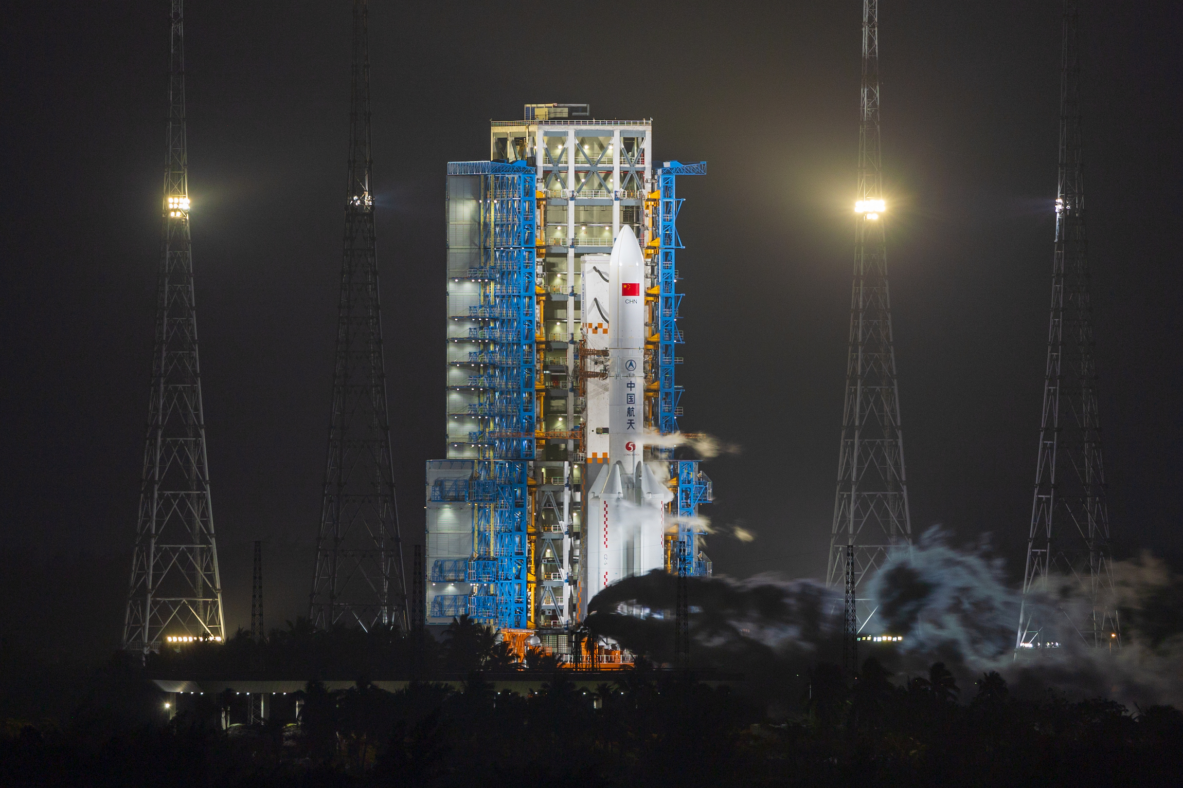
I learned a lot from this deep dive into China’s struggles to bring on international partners to its International Lunar Research Station initiative. It can be a struggle to understand China’s space program as a non-Chinese-speaking Westerner, so I always appreciate Andrew Jones’ reporting.

A Long March-5 Y7 rocket lifted off from China’s Wenchang Spacecraft Launch Site on February 23, 2024. Image Credits: Getty Images/VCG/VCG
This week in space history
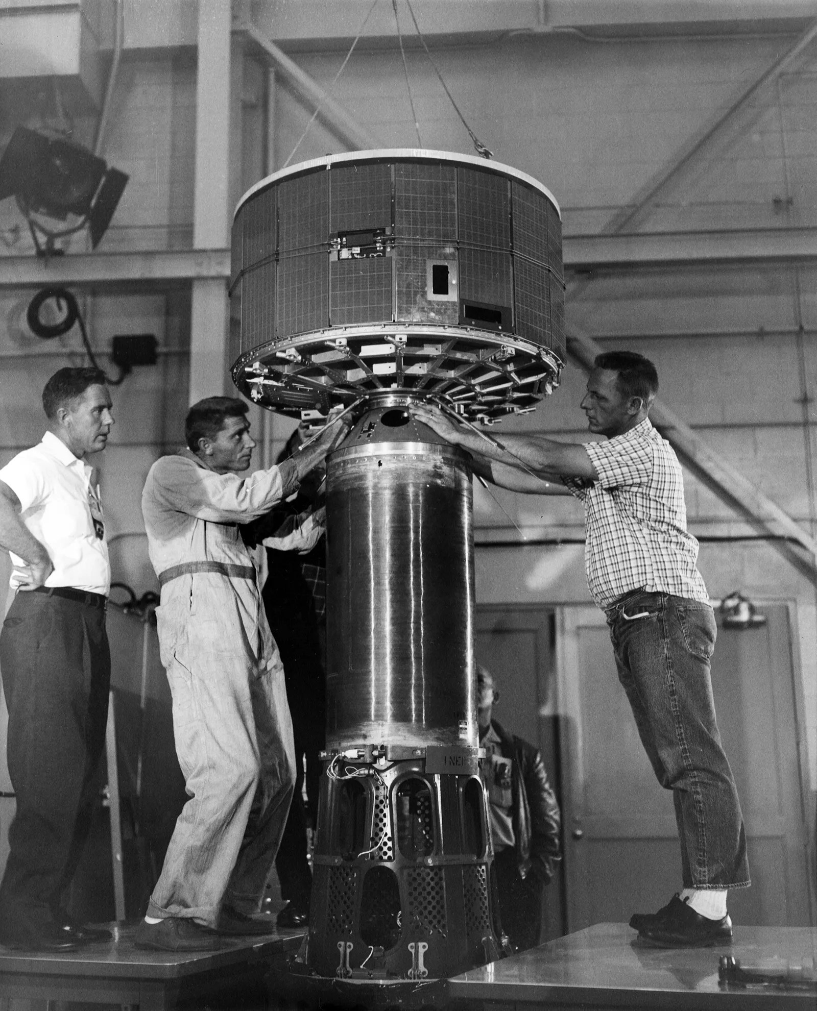
On April 1, 1960, THE VERY FIRST weather satellite was launched by NASA. It’s odd to think about, because low Earth orbit is rapidly filling out with spacecraft that provide tons of useful data on weather… but we had to start somewhere. And we started with TIROS 1 (Television and InfraRed Observation Satellite). Here’s NASA:
The TIROS Program (Television Infrared Observation Satellite) was NASA’s first experimental step to determine if satellites could be useful in the study of the Earth. At that time, the effectiveness of satellite observations was still unproven. Since satellites were a new technology, the TIROS Program also tested various design issues for spacecraft: instruments, data and operational parameters. The goal was to improve satellite applications for Earth-bound decisions, such as ‘should we evacuate the coast because of the hurricane?’

NASA’s TIROS 1 weather satellite. Image Credits: Nasa

 9 months ago
52

